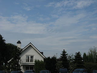
This thursday the expectations where high where in the passing of a thermic surface Low the possibility for severe convection was present. Tornadic supercells were given the shear values possible.
After a 'warm front' passed with some rain the engine started warming up and travelling eastwards within a hunderd kilometres and 1 1/2 hour there was a rise in temperature of nearly 10 C.
I drove to east Brabant and joined chase-, skywarn- and Facebookfriend Hans S.
We decided to move somewhat NE in the region of N Limburg where we found out that convection suddenly had popped up in Belgium. In a short while a line of TSTMS moved NE wards. Traveling somewhat to the south we finally found a place just across the German border (Kaldenkirchen) to watch the impressive storm coming closeby. Sadly enough a wet downburst of one of the storms south has caused some deaths in Hasselt during a popfestival.
It remains unsure if some of the storms were supercellular; structure and updrafts remained mostly hidden....
The outflow of the storms spoiled the game for the rest of the evening in our real targetarea while the region with the best shear/instability overlap was rain and cloud filled with temperatures tempered.....


